






Piani Resinelli
The Gateway to the Grigne: trails, panoramic views and tradition
Piani Resinelli is one of the most iconic and beloved destinations in the Lecco area. Situated at an altitude of over 1,200 metres, at the foot of the majestic Southern Grigna (the ‘Grignetta’), it offers breathtaking views of Lake Como, the Brianza region and the Alps. Piani Resinelli is the ideal starting point for all kinds of adventures: from simple family walks through the beech woods to the technical routes that have shaped the history of mountaineering.
If you’re looking for relaxation and picture-postcard views without too much effort, the (T) tourist trails in the Piani Resinelli are the perfect choice.
Valentino Park and Panoramic Walkway
An unmissable route that winds through a forest of beech and ash trees. In about 30 minutes, you’ll reach the spectacular cantilevered walkway (built in 2021), suspended over the void with a 360-degree view of Lecco and the lake’s branch.
Elevation gain: 180 m
Time: 30 mins
Monte Coltignone
Continuing on from Valentino Park, you climb to the summit (1,479 m) to enjoy a spectacular panorama stretching from Valsassina to Lake Como.
Elevation gain: 200 m
Time: 45 mins (from the walkway).
Path to Forcellino
An almost entirely flat and very picturesque route offering direct views over the Valbrona and the lake.
Elevation gain: 50 m
Time: 30 mins.
Campelli Loop
A refreshing walk at the foot of the Grignetta, passing through the hamlet of Campelli and its charming little church nestled amongst the greenery.
Elevation gain: 330 m
Duration: 1 hr 30 mins.
For those who are fit and keen to explore the heart of the Grigne, there are numerous trails classified as ‘E’ (hiking level).
Rosalba Mountain Hut (via the Sentiero delle Foppe)
The perfect route for admiring the legendary limestone spires of the Grignetta up close. Once you reach the mountain hut (1,730 m), the view stretches from Monte Rosa to Gran Paradiso.
Elevation gain: 600 m
Time: 2–3 hours.
Grignetta Summit (Cresta Cermenati)
The classic route to reach the 2,184-metre summit. The path is steep and strenuous, but the view from the summit and from the iconic Ferrario Bivouac (shaped like an igloo) makes every effort worthwhile.
Elevation gain: 880 m
Time: 2–3 hours.
Traversata Bassa
A long, scenic route linking the Soldanella Mountain Hut to the hamlet of Pialeral, crossing pastures and woods on the eastern slope of the Grigne.
Elevation gain: 300 m
Time: 3 hours.
Val Calolden
The ancient connecting path that climbs from Lecco (Laorca district) up to the plateau, running alongside the stream.
Elevation gain: 800 m
Time: 2 hours.
Experienced hikers (EE) can put themselves to the test on the Direttissima at Colle Valsecchi. This is a technical route equipped with chains and metal ladders (as on the famous Canalino Pagani), which winds its way between vertical rock faces and offers breathtaking views.
Elevation gain: 600 m
Time: approx. 2–3 hours
The Piani Resinelli area offers a comprehensive experience that goes far beyond hiking, skilfully weaving together history, geology and local flavours. A truly unmissable activity is a visit to the Mining Park, where guided tours allow you to explore the ancient lead and zinc tunnels, discovering the vital importance that mining has had for the local economy.
For those wishing to deepen their understanding of the mountain environment, the Villa Gerosa House Museum offers an educational trail dedicated to the flora, fauna and the complex evolution of the Grigne landscape. Finally, your journey of discovery through the Resinelli mountains concludes over a meal in the mountain huts and traditional restaurants: here you can savour authentic Lombard cuisine, enjoying dishes such as polenta with mushrooms and stews, or indulging in the famous Grigna cake – the perfect treat after a day in the great outdoors.
Equipment: hiking boots with non-slip soles are essential, along with layered clothing, a rainproof and windproof jacket, a water bottle, a hat and sun cream during the summer months.
Weather: always check the weather forecast before setting off, as conditions at high altitudes can change rapidly.
Parking: the main starting point is the large car park at Piazzale delle Miniere.
The Gateway to the Grigne: trails, panoramic views and tradition

The best-known mountain range in the Lecco area: a blend of geology, mountaineering and legend

An easy walk to Piani Resinelli: a balcony suspended between the Grigne and Lake Como
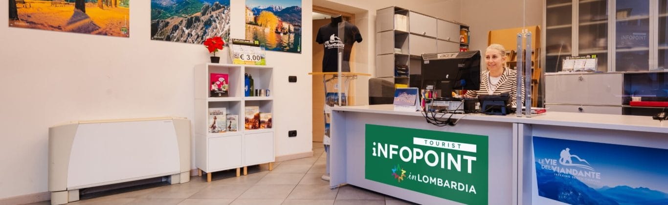
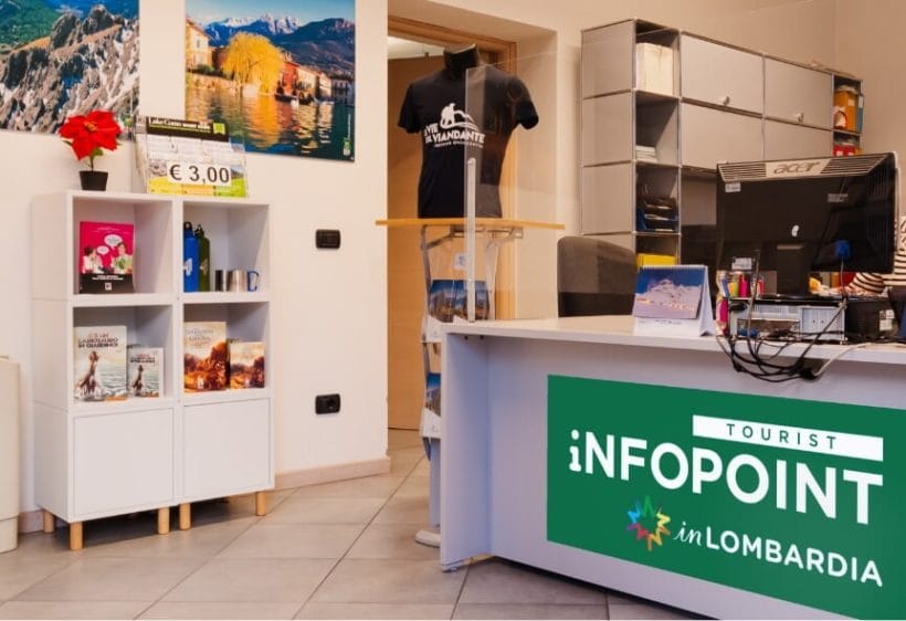
Ask us, we will give you suggestions and directions to enjoy the city and the surrounding area to the fullest.
Contact us